Trig Pillars and their Role in Surveying
When the old meets the new
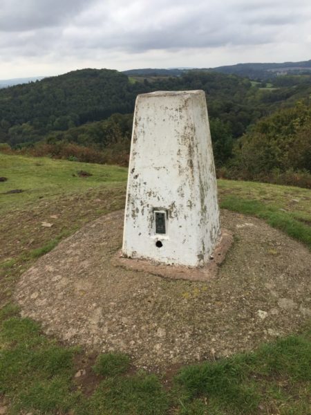
On a recent autumn walk, we climbed Chase End Hill at the tail end of the Malvern Hills, which is crowned by a wonderfully intact Ordnance Survey trig pillar. Trig pillars were once the backbone of our national mapping network. Every time I come across one of those surveying relics they always tend to trigger a few memories..
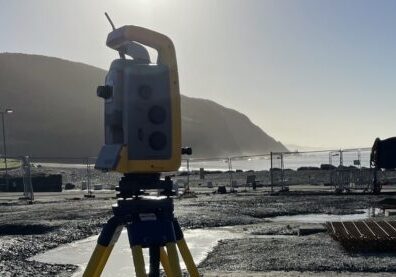
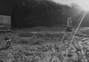
When I first started surveying (just 35 years ago), survey-grade GPS systems weren’t available. Whenever we needed to tie a survey into Ordnance Survey coordinates we often had to hike up a hill with a survey instrument on our back, set it up over a trig pillar, sight the next nearest pillar on another remote hill, then attempt to observe some control back towards the site we were working on. Often the only way you could take a reading to a distant pillar was to wait until nightfall then send some hapless soul miles away to climb up to it and stand in the dark waving a powerful torch back at the surveyor in the vague hope of being seen. This was well before the days of mobile phones so communication wasn’t what it is now. Things seldom went smoothly and disgruntled junior surveyors like me were often abandoned for many miserable hours on top of dark, damp, windswept hillsides oblivious to whether or not the senior surveyor had managed to see the light and turn an angle to your trig pillar.
New Technologies
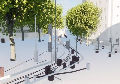
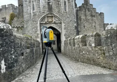
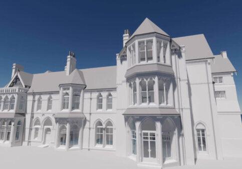
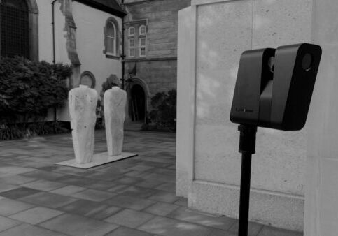
Today, things have changed enormously. Our modern GPS equipment gives us centimetre-accurate Ordnance Survey position and level in seconds so, other than acting as navigational reference points for us hill-walkers, those lovely trig pillars are now defunct. Although many old surveying techniques have been completely replaced by new technologies, enhanced computing power and software advances have given others a new lease of life. Photogrammetry (getting 3D measurements from multiple photographs taken from different positions) is almost as old as photography itself. What was once a difficult and time-consuming process has now been revolutionised by the latest image recognition algorithms and fast computer processing speeds. Photogrammetry, combined with laser-scanned point cloud, now lets us produce incredible photo-realistic 3D models that provide architects and engineers with an extraordinary amount of fine detail. Our reality capture models now make it possible to understand the structure you’re working on far better and let you see even the finest detail from the comfort of your office chair.
So, exactly how much detail can you see on our reality capture models? Let’s go back to that old trig pillar and find out! While I was up that hill I took photographs all around the pillar and a few close-ups of the brass benchmark flush-bracket. Back in the office I processed the pictures through our ContextCapture software and created a 3D mesh model.
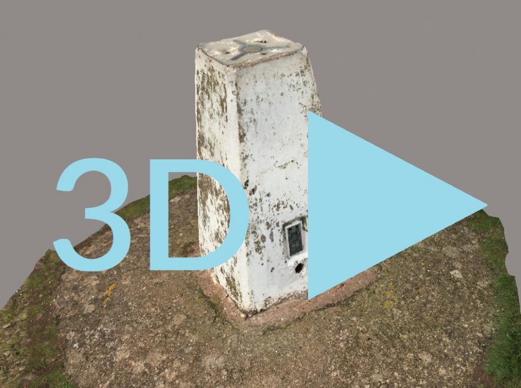
And here are the results in glorious 3D... let me know if you manage to spot the local wildlife!
Reality capture gives you better information for your projects. Call us now on 01905 622495 and speak to one of our team.

