What is a Measured Building Survey?
Your house alteration project can go wrong if you don’t have an accurate measured house survey carried out before you start. Architects and designers have used our laser scanned surveys for hundreds of successful house projects over the past 25 years. Our surveyors use the latest laser scanners to capture the house in 3D then create an accurate measured building survey so your new designs are guaranteed to work.
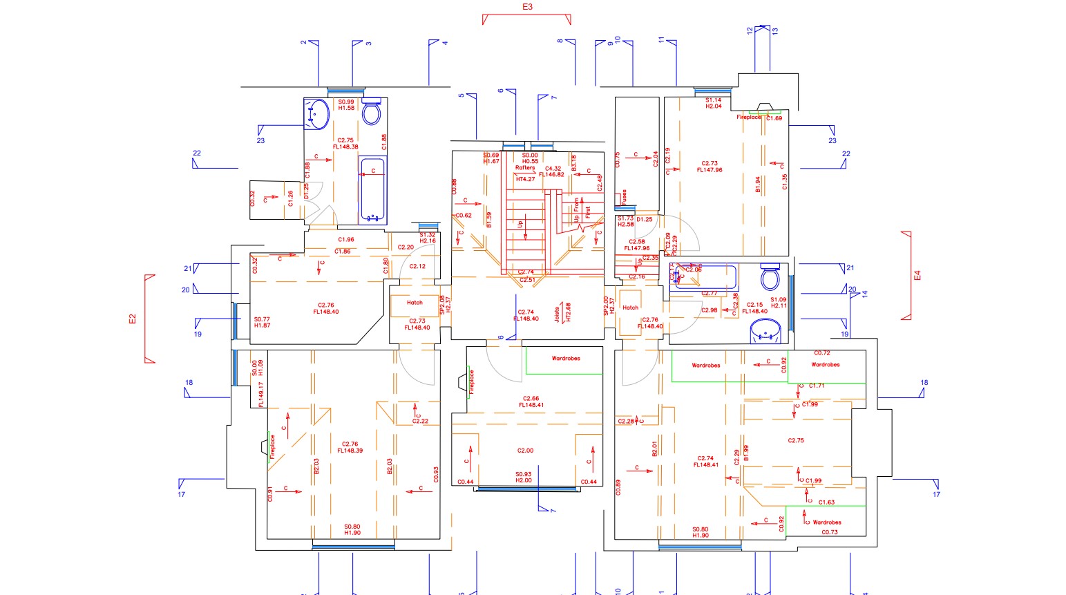
A Measured Survey gives a full understanding of your building
Bury Associates will work to your specification and can provide floor plans, roof plans, sections, internal elevations and external elevations depending what your requirements are for each project.
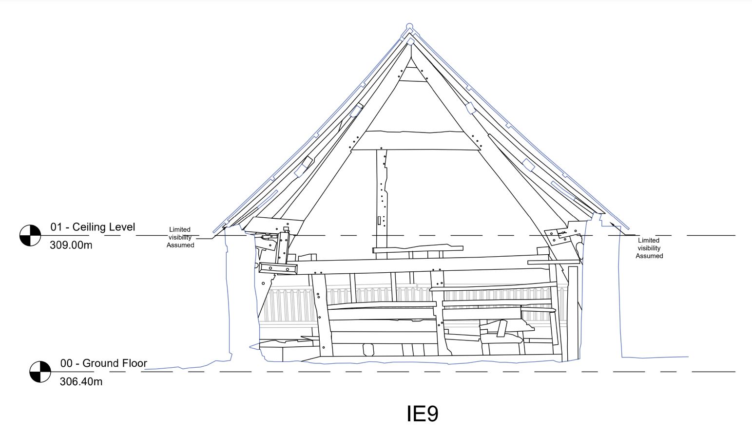
Laser scanned survey for accurate measurements
The use of laser scanners, GPS, and drones ensures that the measurements taken during the measured house survey is accurate and detailed. This accuracy is crucial for making informed design decisions and avoiding potential conflicts or issues during alterations.
Others Services to Help with your Measured Survey
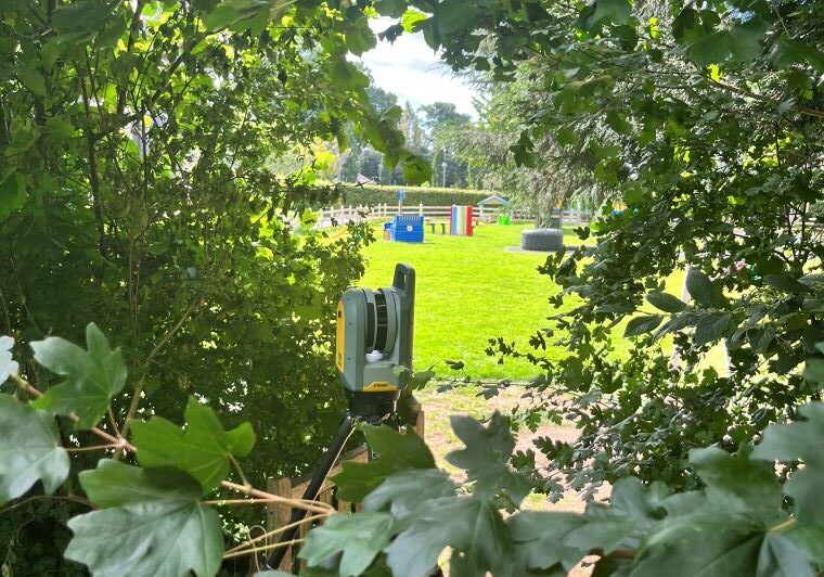
Topographical Surveys
A topographic survey is a centimetre-accurate, highly detailed map of your site showing all features and levels. Features shown will include such things as buildings, manhole covers, service covers, drainage, lampposts, telephone poles, individual trees, steps, walls and fences, along with surface descriptions, levels and heights.
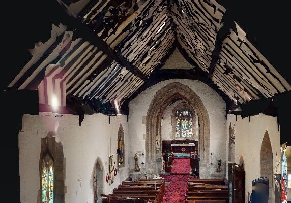
Matterport Tour
Bury Associates can provide a 360° Matterport Tour of your building allowing a better understanding room by room viewing on line without leaving your desk thus saving your time and money.
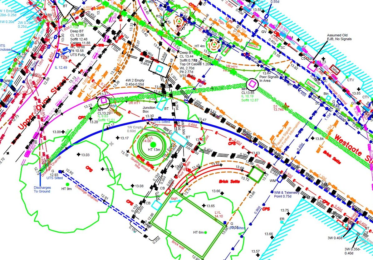
Underground Services
Bury Associates underground services tracing team use radio detection equipment and ground penetrating radar to scan your site for underground services. This is delivered as a 2D or 3D CAD overlay as part of a topographical survey
FAQs
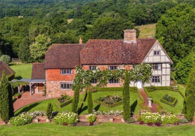
Project: Farm, East Sussex
Bury Associates were tasked with conducting a detailed measured building survey and topographical survey of the Grade II Listed Farmhouse
