Transforming Laser Scanned Point Clouds into 3D Models with Revit
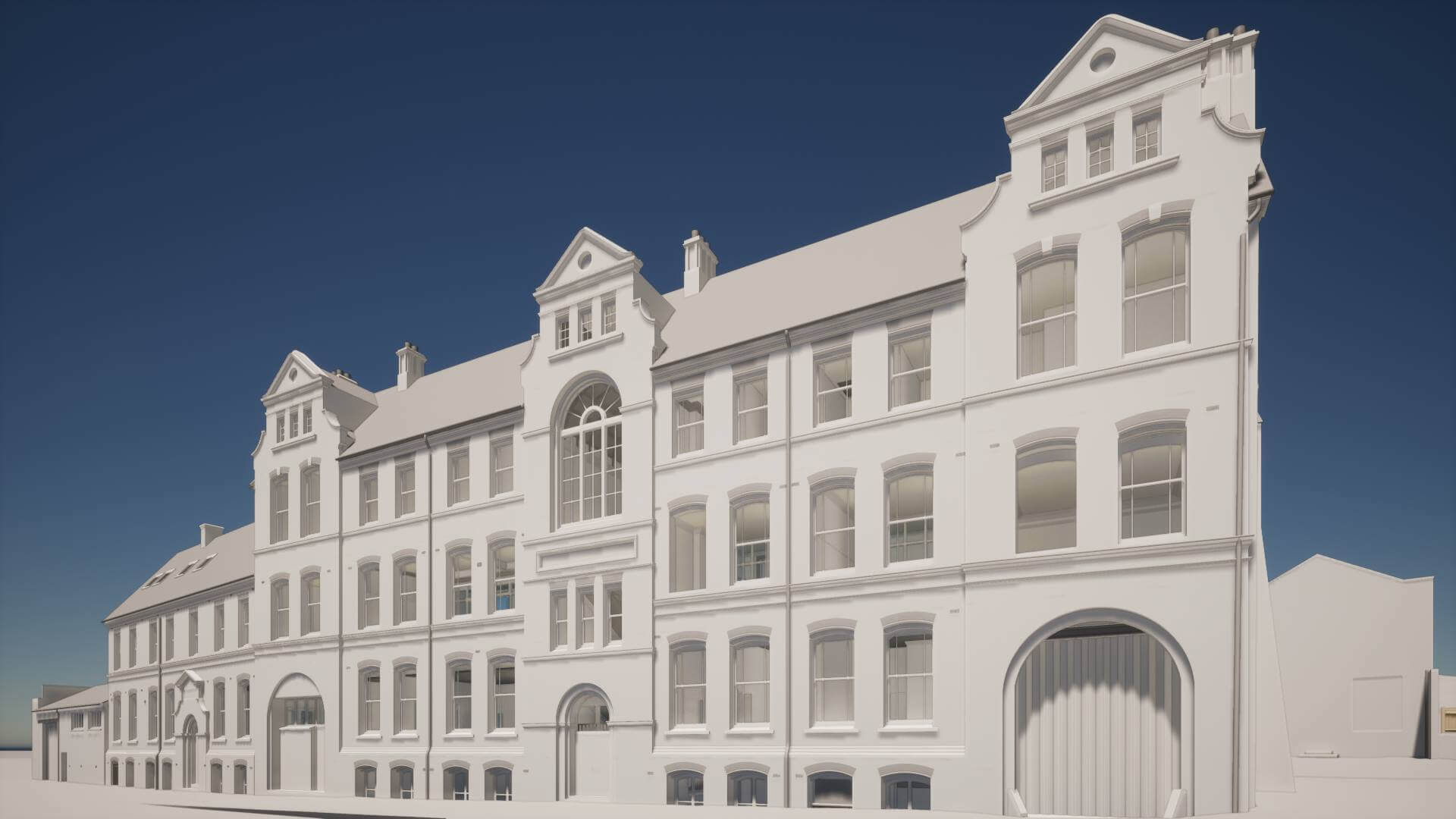
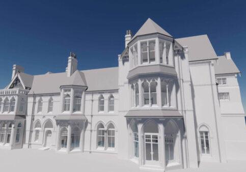
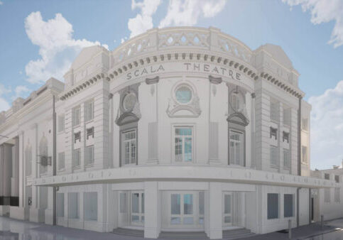
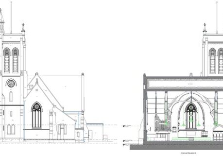
3D Revit model created by Bury Associates from laser scanned point cloud
From Laser Scanned Point Clouds to 3D Models with Revit
In the world of construction, architecture, and surveying, Autodesk's Revit is a game-changer. Renowned for its Building Information Modeling (BIM) capabilities, Revit is a software application that architects, structural engineers, and professionals in related fields use to design and manage building data in a cohesive, three-dimensional environment. But how does Revit come into play when creating 3D surveys from laser-scanned point clouds? That's where the expertise of Bury Associates shines.
Laser scanning is an advanced technology that has revolutionized the way buildings and sites are surveyed. The technique involves using lasers to capture the exact dimensions and details of a building or structure, creating a series of points known as a point cloud. These point clouds are incredibly dense and offer an accurate representation of the structure, but they are challenging to interpret in their raw form.
That's where Revit comes in. As a BIM tool, it allows for the efficient conversion of these laser-scanned point clouds into 3D models. House in-house modelling team interprets the point clouds and transforms them into architectural elements, such as walls, roofs, columns, windows, and doors. The result? A comprehensive, three-dimensional model of the building that provides a wealth of information beyond simple geometric representation.
Bury Associates have been leveraging Revit's powerful capabilities to create detailed 3D measured building surveys since 2007 - making us one of the UK's most experienced teams.
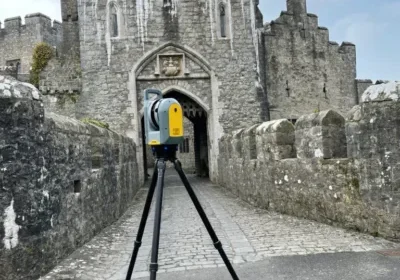
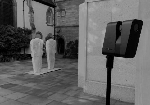
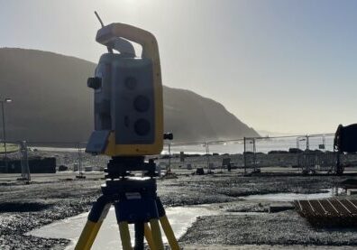
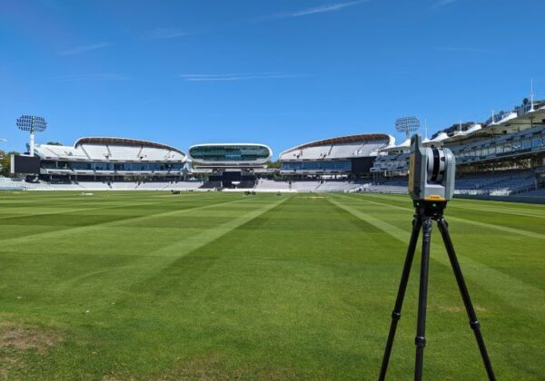
The process begins with on-site data capture, where they use high-precision laser scanners to collect millions of points. Back at the office, this data is processed to create a 3D point cloud.
Once the point cloud is imported into Revit, the team at Bury Associates starts to convert the cloud data into BIM elements. This is not just a simple one-to-one conversion; it involves a certain level of interpretation and professional judgment. For instance, a series of points may represent a flat wall, a curved surface, or a set of stairs. Understanding the building's design intent and the purpose of the survey is essential in this phase.
Revit's 3D modelling capabilities are not just limited to representing physical features. They can also capture and store a significant amount of metadata about each element. For instance, a window in a Revit model can have data about its manufacturer, energy rating, and cost. This 'intelligence' makes Revit models incredibly useful for facility management, refurbishments, and renovations.
The resultant 3D models created by Bury Associates are not just visually impressive but also highly functional. They provide a digital twin of the building, enabling stakeholders to visualize and understand the building's details without being physically present. These models can be used for various applications, from planning refurbishments to assessing energy performance and even preparing for emergency responses.
In summary, Autodesk's Revit is an essential tool in the transformation of laser-scanned point clouds into useful 3D models. With Bury Associates surveyors' expertise, the intricate details of a building can be captured, interpreted, and modeled with precision and efficiency. This blend of cutting-edge technology and professional acumen is what makes the modern approach to building surveying so powerful and versatile.

